


3.8 km | 4.1 km-effort


User


FREE GPS app for hiking
 SityTrail
IGN / Geographical institutes
SityTrail World
The world is yours!
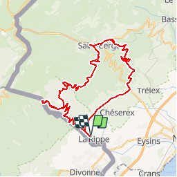
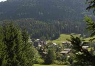
Trail Winter sports of 38 km to be discovered at Vaud, District de Nyon, La Rippe. This trail is proposed by ovronne.
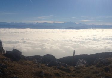
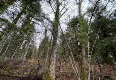
Sortie 40km.
Montée au-dessus de La Rippe, traversée vers la route de la Barillette, rallier St-Cergue et descente sur les bords du ruisseau La Colline.
Walking

Walking
On foot
On foot
Walking

sport

On foot
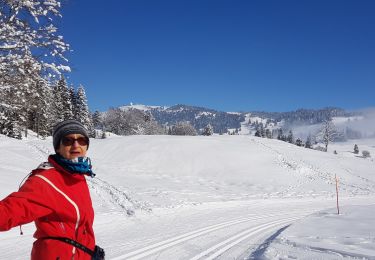
Cross-country skiing
Mountain bike